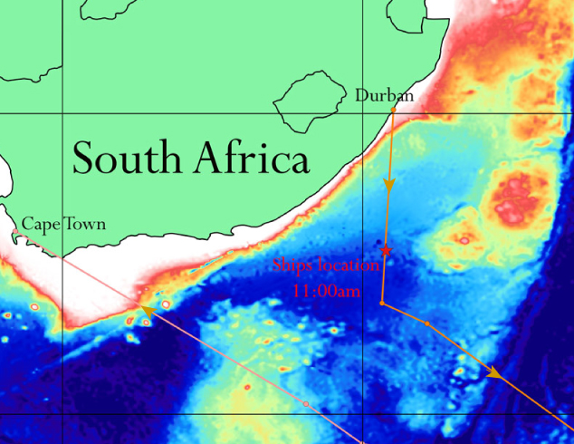
One of our science party has n’t adjusted to the rolling and rocking of the ship, so we headed to Port Elizabeth where we’ll be met by a launch at ~ 7am and the scientist taken ashore. All is well, this was just a precautionary measure, but with much bigger seas and stronger winds to be expected in our work area- “the roaring 40’s”, all thought this was a prudent action.
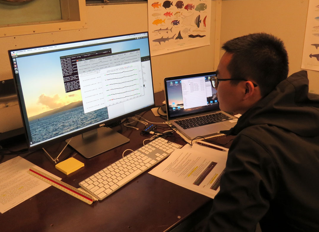
Processing multibeam data as we sail onwards
We're collecting data!
As we left the South African EEZ, turned on the multibeam system to map bathymetry deployed the magnetometer and started recording gravity measurements as we continued our transit to the first site.
Underway to the survey sites
We departed the Port of Durban on Feb 21st at 1:21 pm local time. The pilot disembarked and we then proceeded to head south to our first waypoint at about 11 kts. We will not be collecting any data until the ship enters international waters, which will be in a day and half. When we get to international waters, we will turn on the ship’s sonar and swath bathymetry mapping system and also deploy the magnetometer to measure the magnetic field. The first survey line we will collect will be for our South African colleagues.
The Scientists & Sentry team are now on the ship
People are arriving in South Africa!
Sentry….
Arriving at the ship
R/V Thomas G Thompson in Durban
People Arriving in Cape Town
The science team starts to arrive