Catching a dredge
Today, was a day of collecting multi beam bathymetry as the weather calmed; and another core complex was discovered! That’s five in five days on site. This one is very interesting because it’s very close to the axis and therefore may be currently “in action”.
The other interesting result that emerged today during the rock description of the three dredges from yesterday was the presence of “iceberg litter” in our samples. In other words dropstones of continental crust (from Antarctica?) that have been carried out here by calving ice sheets during the last glaciation. Finding three or more (was the quartz sample also a dropstone?) in just 30 or so dredge samples indicates how many such dropstones must be out here.

Dropstones of continental crust- A piece of slate and two samples of garnet bearing gneiss
Maurice Tivey also presented some initial magnetic results at our nightly science meeting- possible low magnetism (peridotite?) areas within the rift valley? and hints that the magnetics will indicate asymmetric spreading.
Tomorrow, we launch Sentry at daybreak to map the axis of the rift valley and whilst we’re waiting, dredge to find peridotite (and basalt).
Today was a day of dredging. Three dredges were carried out, one up the face of a decapitated core complex, another across low topography faulted terrain and the third near to the margins of the rift valley. All returns were dominated by pillow basalt with some occasional nice glass.

Dredge 5- pillow basalt, glass and a highly foliated piece of slate- from Antarctica.
We did recover some clear schistose, soapstone, fault rock samples from the dredge up the face of the core complex and even a piece of a quartz vein (which might be a dropstone).
Another interesting sample is shown below. one of two rounded pebbles of basalt suggesting the influence of wave action. The top of the core complex- unofficially named “Table Mountain” core complex is only 500m below sea level and has a apparently, planed off, flat top- likely indicating it had once formed an island. Maybe the pebble once inhabited the surf zone of that island..

Only a couple of cms in diameter, a rounded pebble of basalt.
Now we’re back to continuing the multi-beam survey as the weather threatens to worsen over night
50 kt wind gusts and 20 ft seas meant that it’s been a “rock & rollin” day at sea. Fortunately sliding chairs were the worst that happened to us. We recovered last nites dredge in the early morning and found we had collected diabase. Since have been multi beaming, with the triumph of the day being, that we found our 4th oceanic core complex! We really are in a reduced magma segment of the Southwest Indian Ridge, with nearly all the major bathymetric features being oceanic core complexes or the large 1 km high ridges typical of failed oceanic core complexes. Our next dredge is planned for 4 am this morning. I’m sticking with gabbro. Wish us luck!

Our location earlier today (red star). We’ve completed all of the multi beam lines to the west of the “star” and the horizontal ship tracks show where we went dredging. The “topography” is from satellite derived gravity.
After some rough weather; near 80 knt winds and 30 ft seas, we arrived on site at about 6pm our time and we immediately turned south and started our multi beam grid. Each north-south track line will take about 5 hours and we are currently looking at a weather window on Sunday to launch Sentry and start dredging .

View of the stern from the Bridge of the of the R/V Thomas G. Thompson in the storm.

Another guyot. In the distance the guyot we traversed earlier this week, can be seen 140 km away from this one which we crossed yesterday, This one is about 16 km across and forms part of a NNE trending seamount chain visible in the satellite bathymetry.

50m high sand waves traversed on our transit to the study site.
We have a tail wind and are steaming at 14 kts, eager to arrive at the survey site on Thursday evening, but in 30ft combined waves!

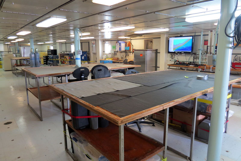
Empty lab- waiting for rocks
We are now headed for our research area at 43°South and 40°East. The ship was doing about 12 knots (nautical miles per hour), but the Captain slowed the vessel to delay our arrival from noon Thursday to Thursday evening as the weather service reported there would be wind speeds up to 40 kts in our research area and 30 foot waves. We have lost four days of research days to the emergency port call, but we still have 28 very excited scientists aboard who can’t wait to start doing science. Henry Dick- Chef Scientist

Current location